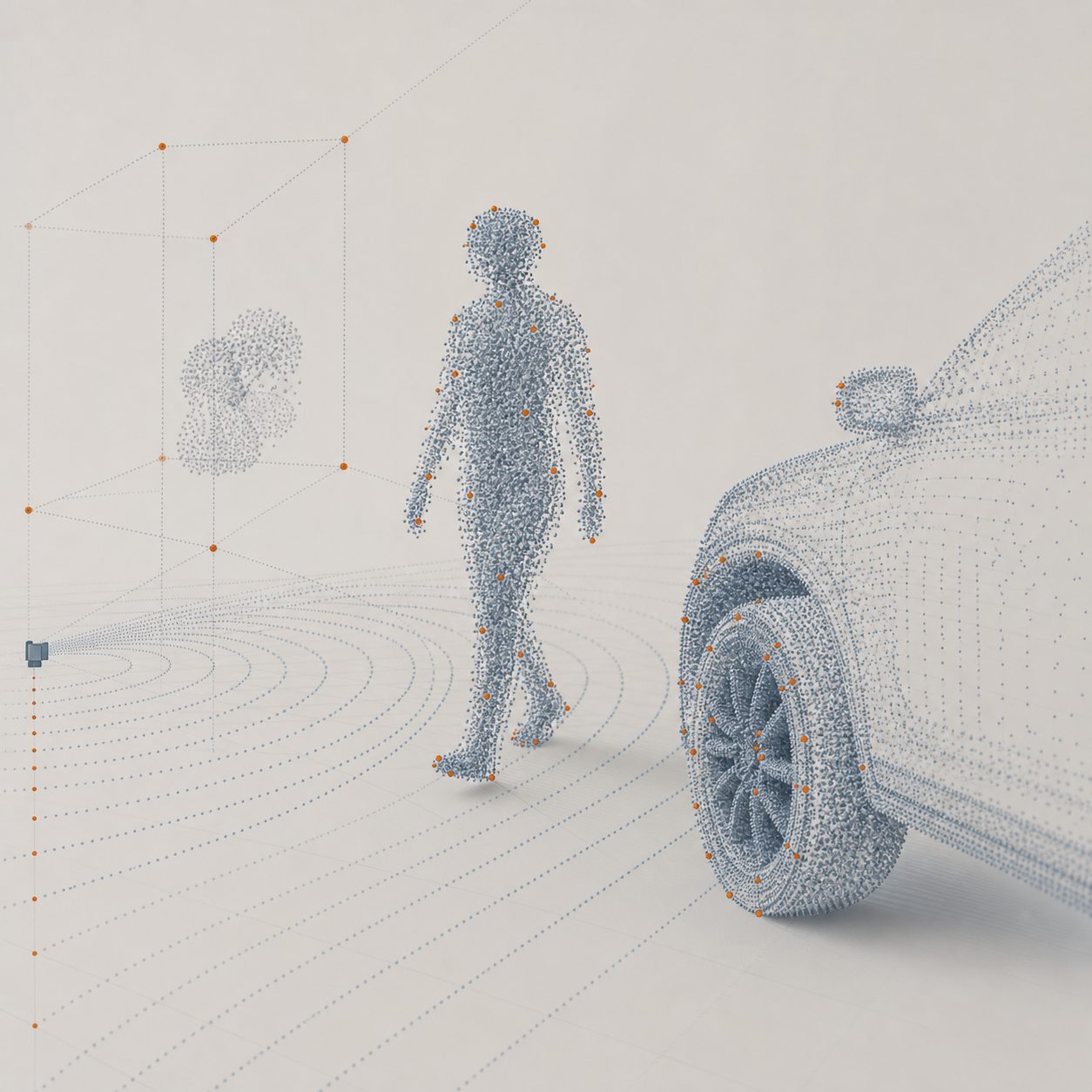
Range, azimuth, elevation, and Doppler — resolved together, frame after frame. This is an independent, category-level look at what 4D imaging radar silicon is meant to do.
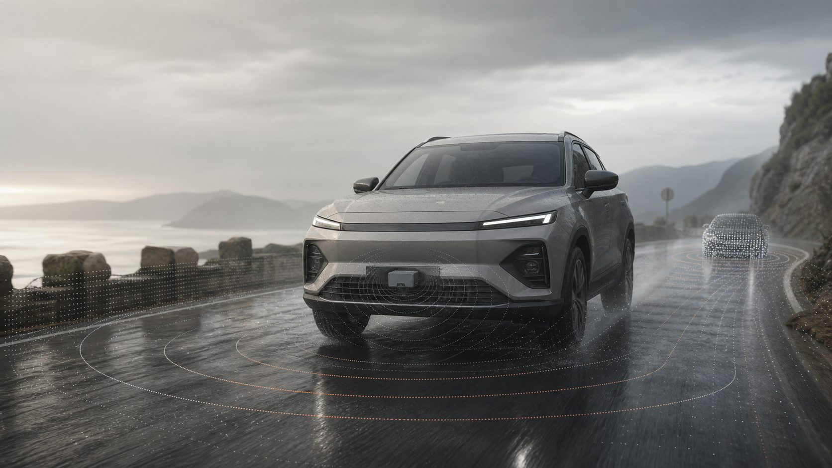
Classic automotive radar tells you a target's distance and closing speed. 4D imaging radar adds elevation and produces a dense point cloud — so the sensor can start to distinguish a low kerb from an overhead sign, a pedestrian from a lamppost, a stationary car from open road.
Time-of-flight from the reflected chirp gives distance to each return — the oldest and most reliable radar measurement.
Horizontal angle recovered across the receive array. More virtual channels sharpen how finely two side-by-side objects can be separated.
The dimension that turns radar from a flat map into a 3D picture — telling a driveable underpass from a solid obstacle.
Per-return radial velocity from frequency shift. Motion is measured directly, not inferred frame-to-frame like a camera.
4D imaging radar is a category, not a single product. These are common problem areas the technology is aimed at, described at an industry level.
Forward sensing for automatic braking and adaptive cruise, holding up in rain, fog and low sun where cameras degrade.
A weather-robust layer in sensor fusion — complementing lidar and cameras rather than replacing them.
Roadside and gate units that count, classify and track traffic without capturing identifiable imagery.
Presence, zone and speed sensing on machines and AGVs, in dust and low-visibility environments.
Occupant and vital-sign monitoring at close range — a distinct problem from long-range forward radar.
Fall detection and occupancy in care and public spaces, where privacy rules out cameras.
This site is an independent exploration of the 4D imaging radar chip category. There is no shipping product, price list, or benchmark to report here.
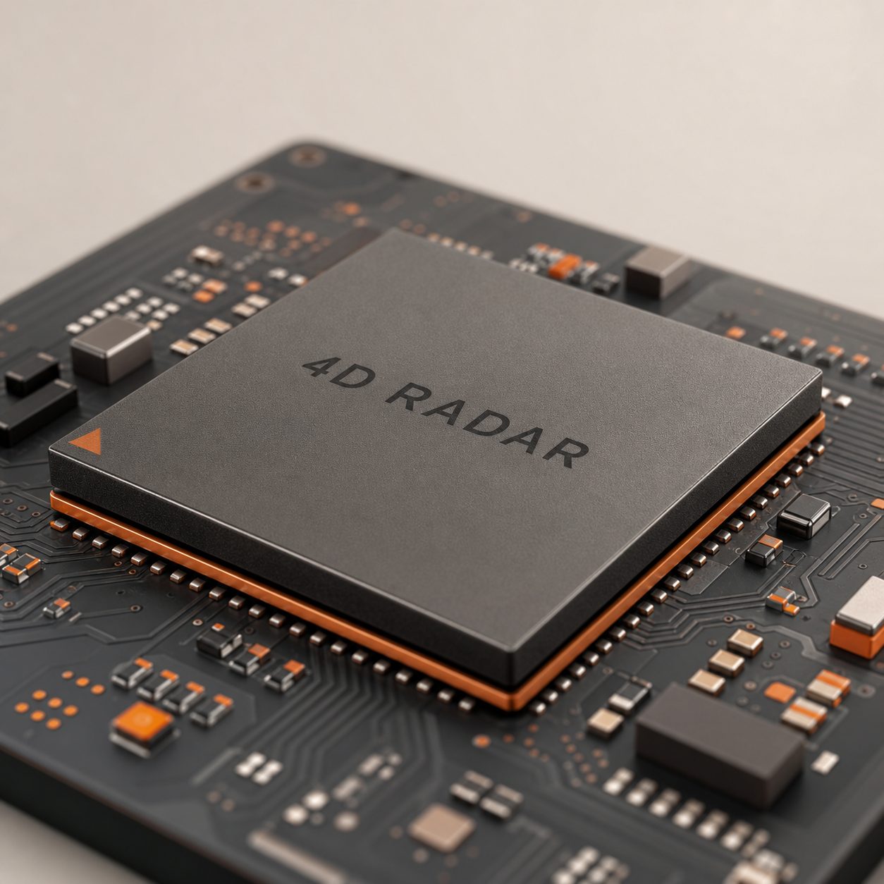
A single-chip front end integrating the transmit/receive array, on-chip signal processing, and a 4D point-cloud output — the block diagram every entrant in this category is chasing.